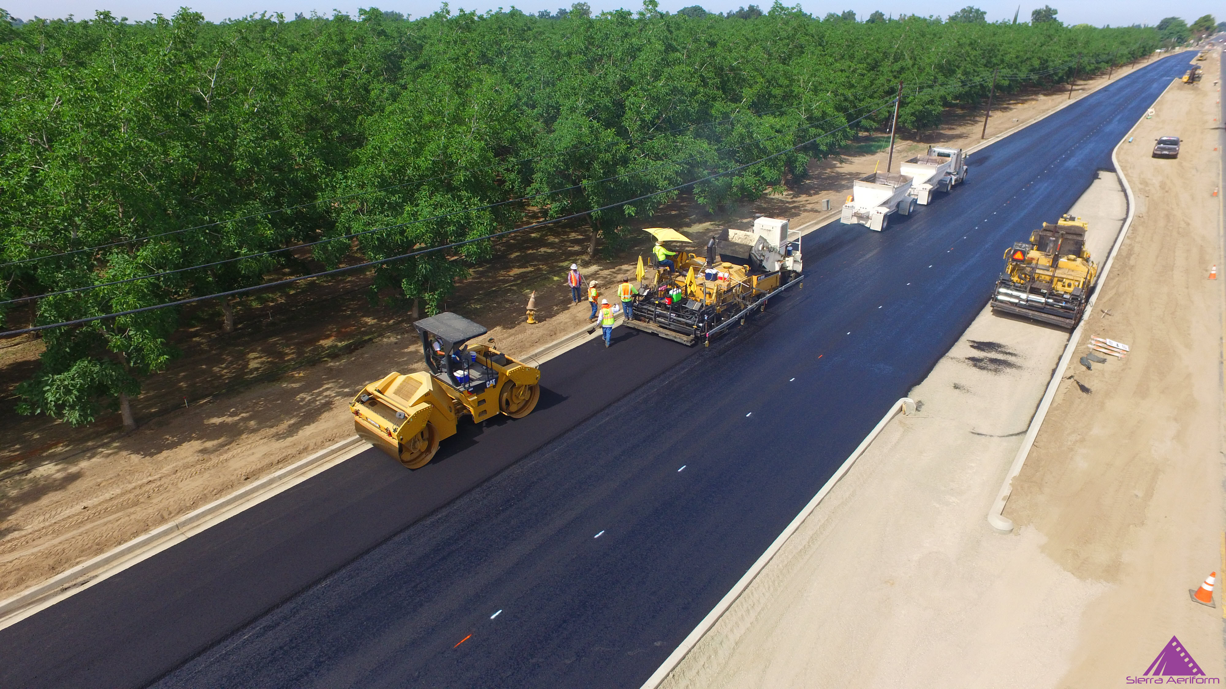
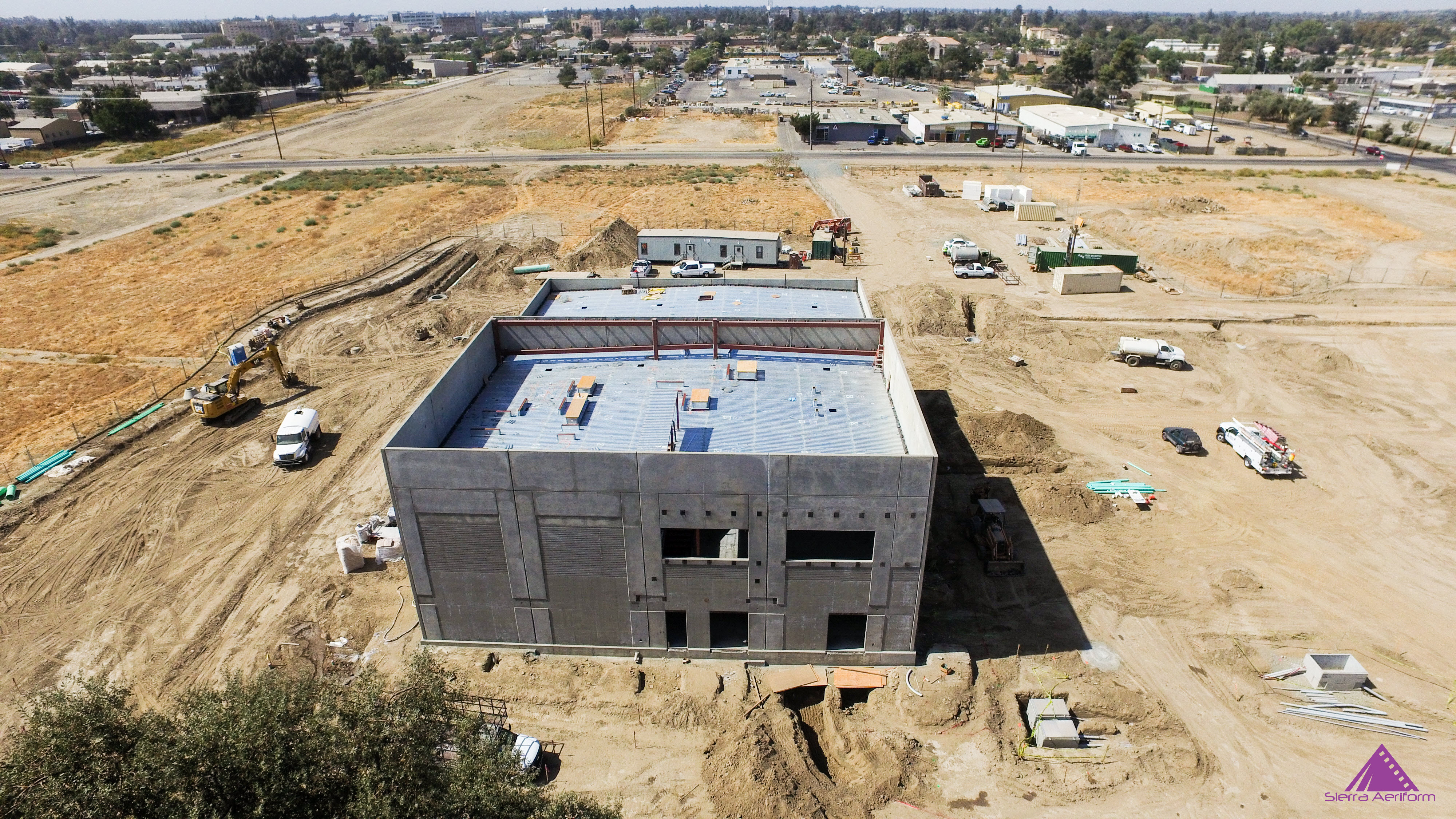
Construction
Aerial Construction Progress Monitoring obtains actionable data that is achieved from HiRes maps, photos, thermal imaging, and UltraHi Res video. Digital measurements of open trenches, inventory management, vegetation growth, and stockpile volume calculations are just some of the benefits of this business solution.
SERVICE
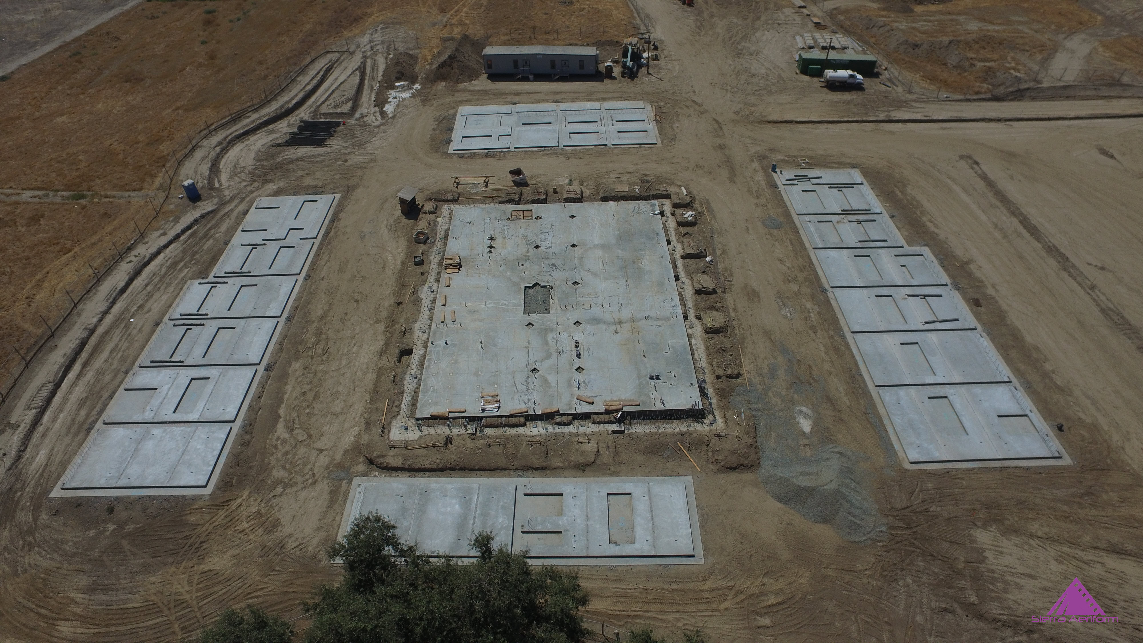
Earthworks Management
With daily or weekly Sierra Aeriform flights, site project teams benefit from an on-demand visual history of the latest earthworks activity. This enables them to know how much dirt has been moved, to calculate cut-and-fill volumes to track progress, and to keep their customers informed on progress.
Project Planning
Throughout a project, earthworks contractors are using Sierra Aeriform to verify proposed quantities and create change orders with accurate, on-demand surveys. This maximizes profitability and enables a successful project for clients and contractor.