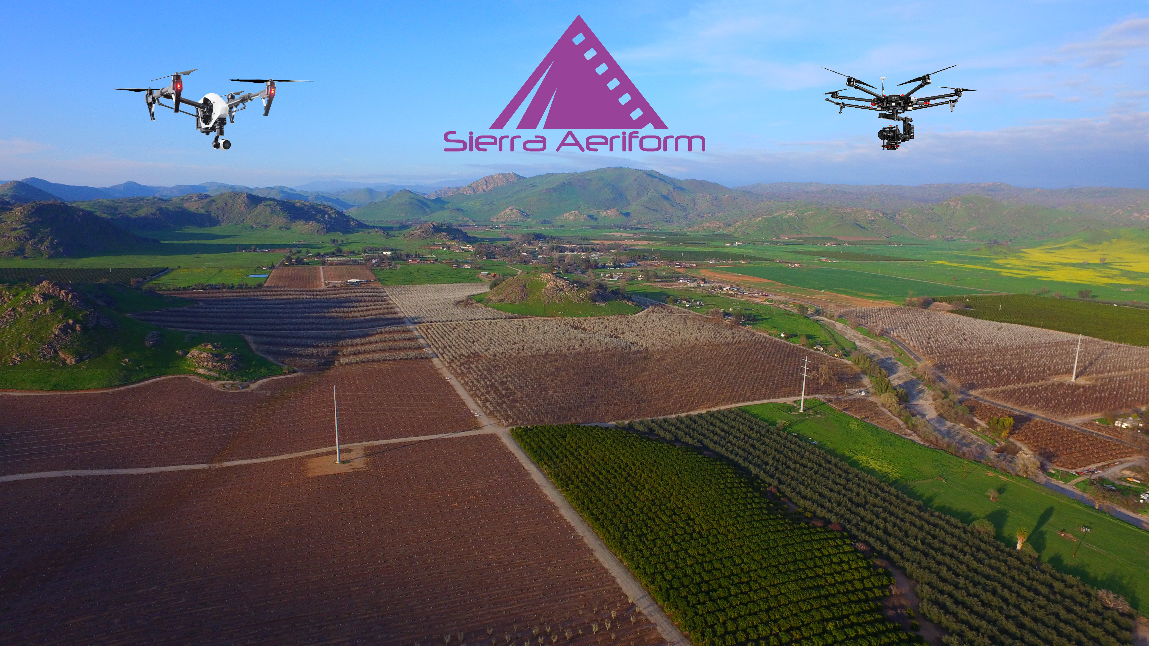
Sierra Aeriform
Area-Wide Leader in Drone Aerial Business Solutions
Sierra Aeriform
Area-Wide Leader in Drone Aerial Business Solutions
Sierra Aeriform
Area-Wide Leader in Drone Aerial Business Solutions
Sierra Aeriform
Area-Wide Leader in Drone Aerial Business Solutions
Previous
Next
SERVICE
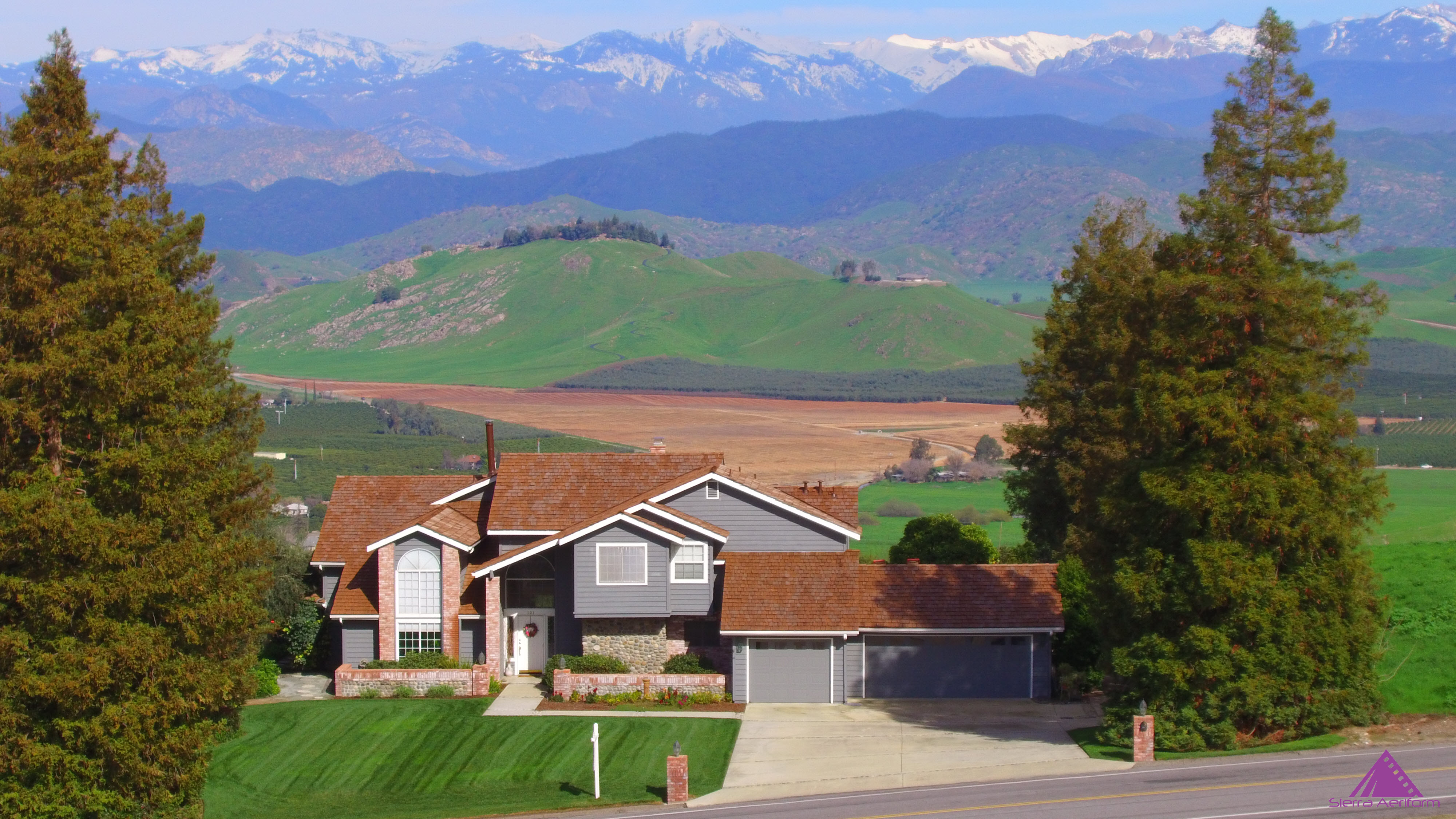
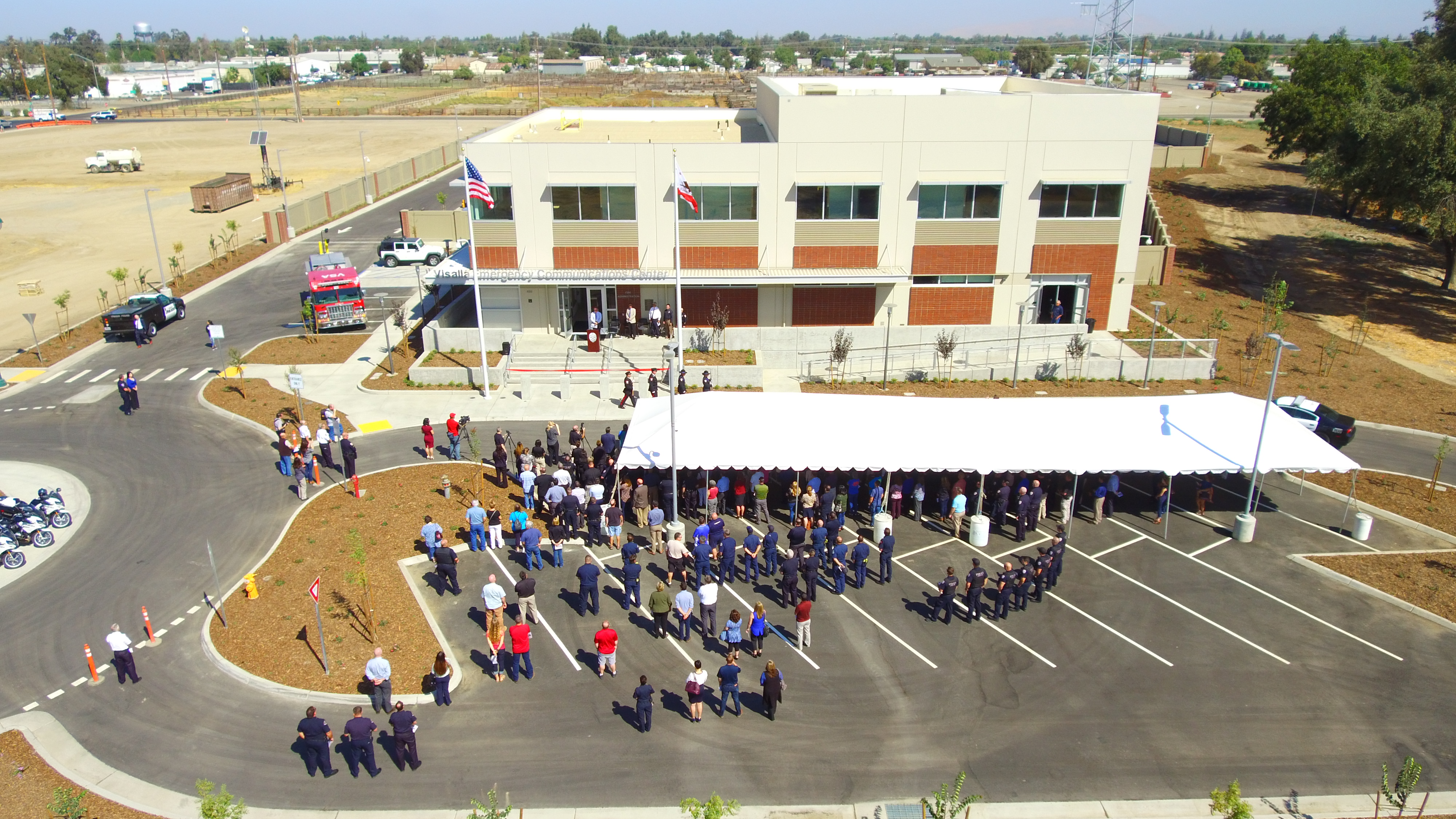
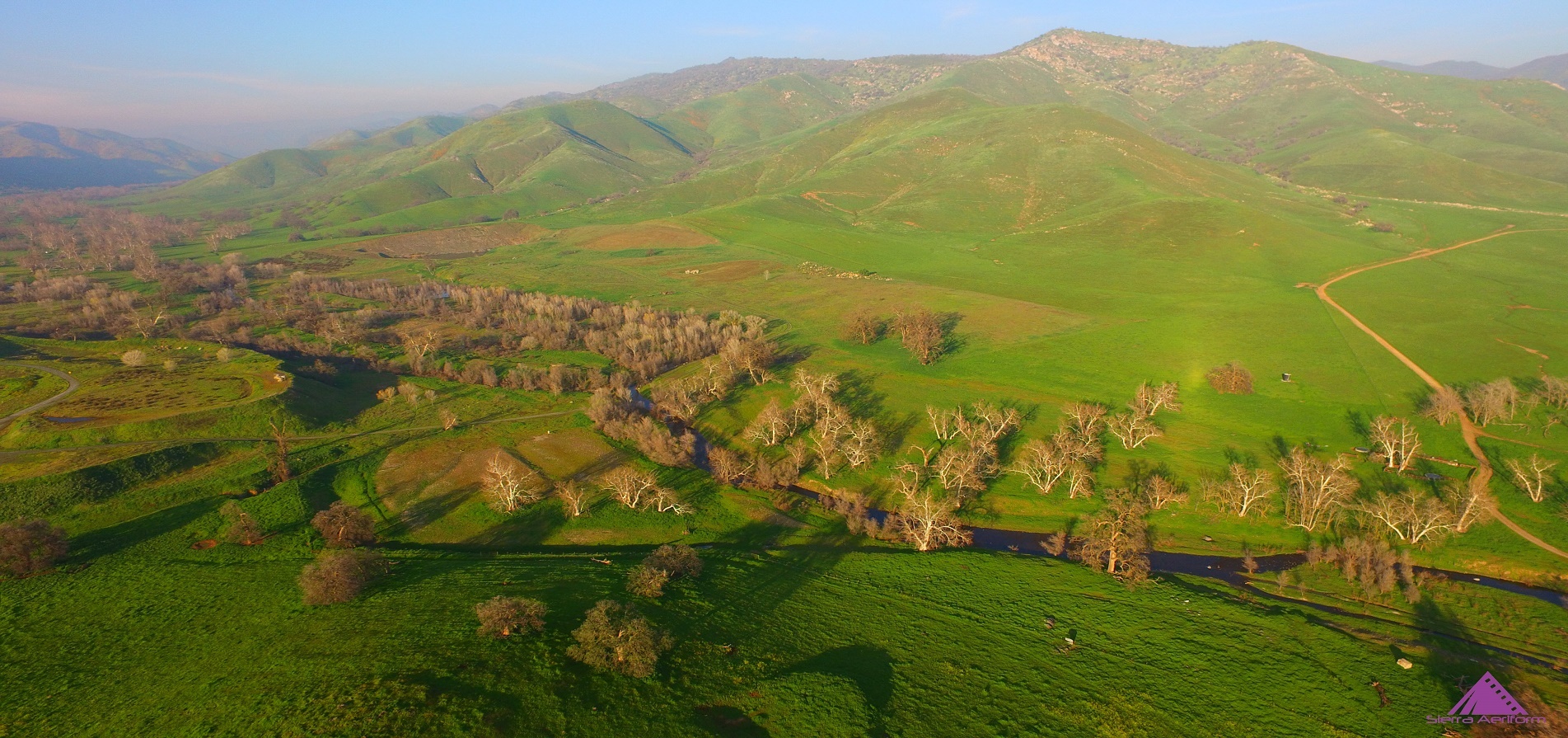
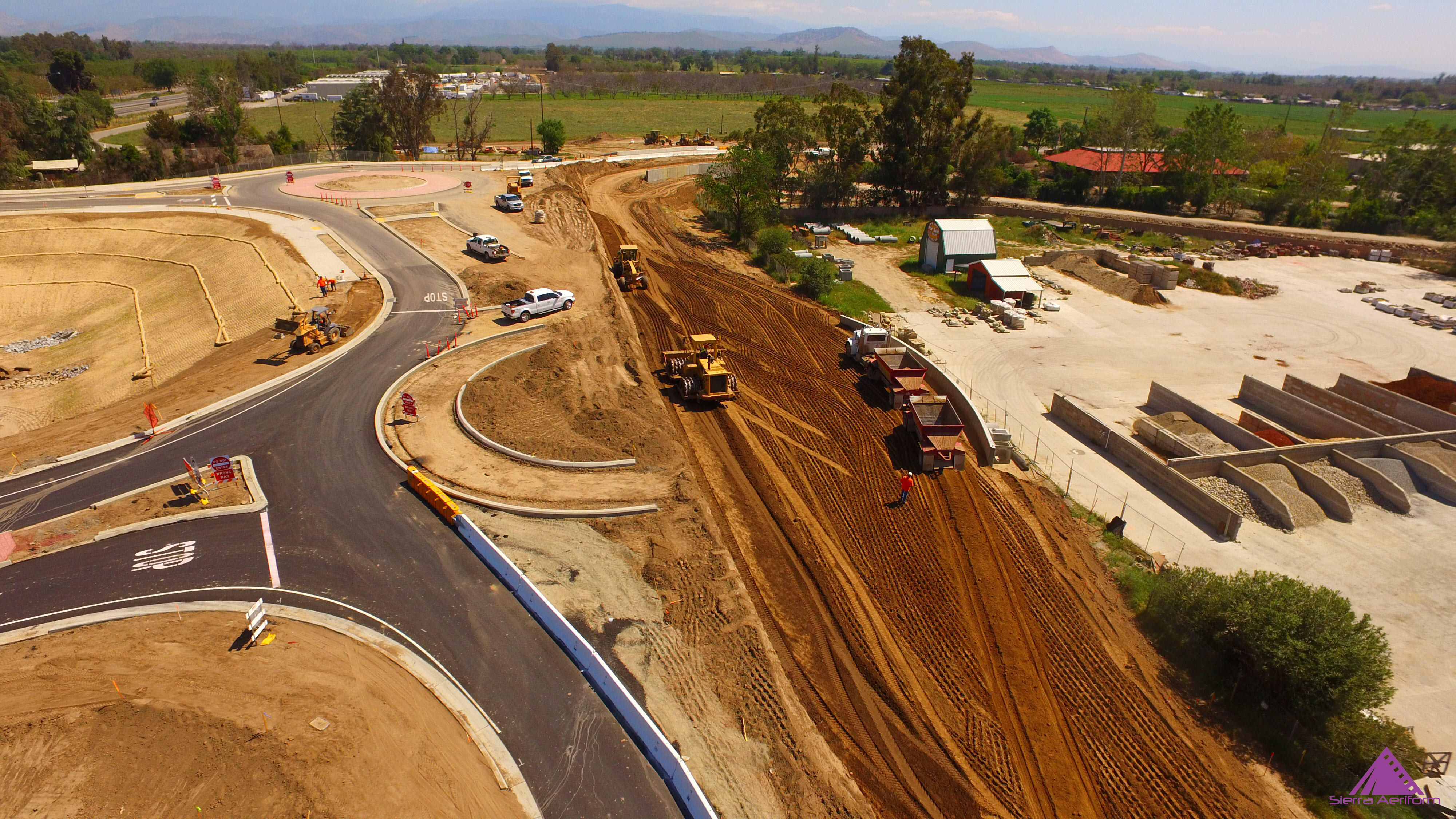
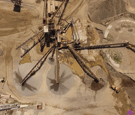
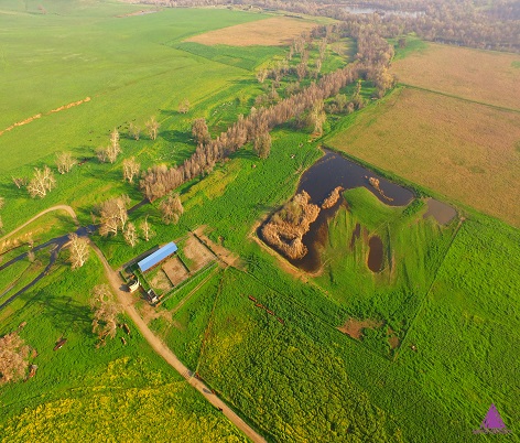
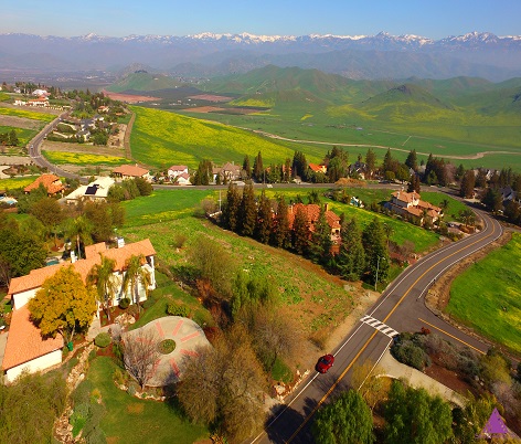
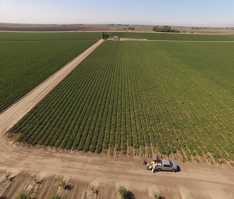
Sierra Aeriform leverages UAS/drone technology in aerial imagery solutions supporting Mapping for Survey & Engineering, Construction Progress Monitoring, Ag, Environmental Monitoring, Real Estate Marketing, and Custom Shoots. By providing previously undiscovered low altitude, high-resolution views we are changing the way cities and companies are running their businesses.
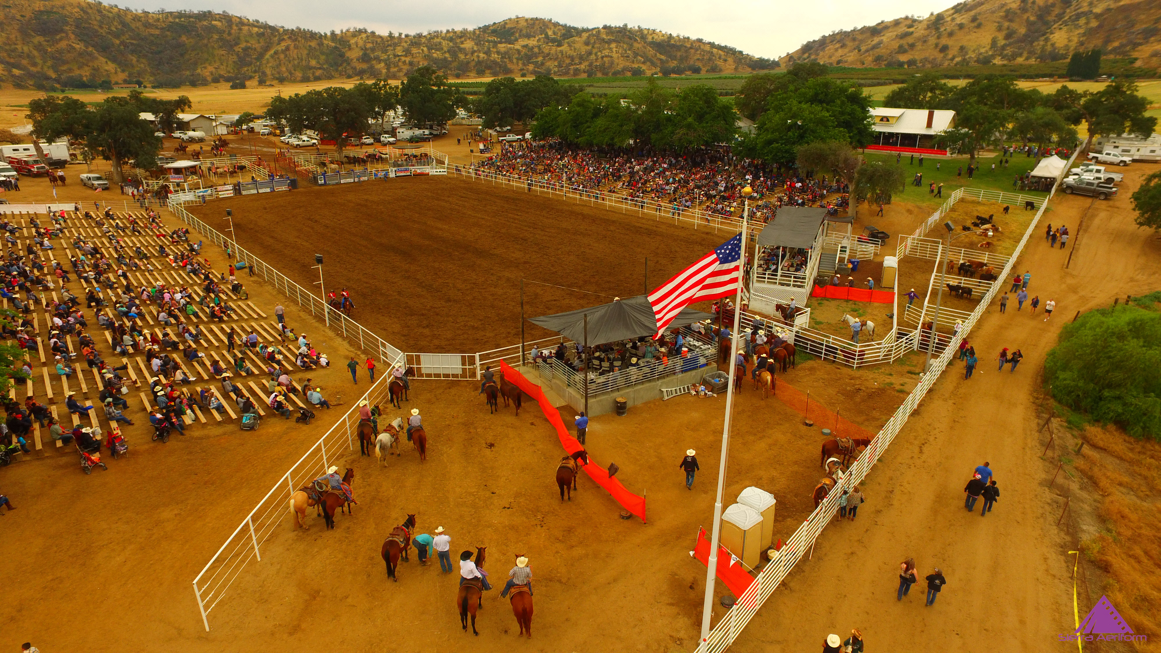
GALLERY


